Sensor fusion annotation,time-synced across modalities.
Multi-modal annotation with calibration-verified cross-modality consistency. Single 3D label projects to every camera, every radar return, every thermal frame.
A 3D label is only useful if it lands on every sensor.
Separate per-sensor jobs can look complete and still disagree in the fused frame.
YPAI draws one object in the primary sensor and projects it through verified extrinsics onto every secondary stream. The annotator confirms the landing before the label is closed.
pickup · occluded
One camera, fully labelled Twenty objects across seven classes, with occlusion and truncation recorded. Extent, class and identity are all a single camera can give. Depth is not among them, which is where the sensors below start earning their place.
What the projection must survive
Camera
The cuboid lands on the pixels that actually belong to the object, including truncated and night frames.
Radar
The same identity carries Doppler velocity where radar is in the stack, not a second guessed box.
Thermal
The silhouette holds when RGB fails. Heat-only classes stay available when the taxonomy needs them.
PTP time base across the recording
LiDARt + 0.0 ms
Camerat + 1.4 ms
Radart - 0.6 ms
Illustrative readout. The engagement sets the primary sensor, the projection policy and the drift threshold the delivery must report.
The stack you buy is the stack you can train.
Paying for isolated LiDAR boxes and isolated camera boxes is the expensive way to discover they do not occupy the same object.
RangeLiDAR
SemanticsCamera
VelocityRadar
MotionIMU + GPS
NightThermal
Most common stack
LiDAR + camera
Geometry from LiDAR, class and attributes from camera. One 3D box is projected into every camera view through verified extrinsics.
Primary
LiDAR cuboid, camera as semantic corrector
Hard part
Projection error when extrinsics drift, truncation, and night RGB
Typical output
3D boxes with camera-view projections, class, and occlusion state
Where it is used
ADAS perception baselines, robotics scene understanding
Weather-robust stack
LiDAR + camera + radar
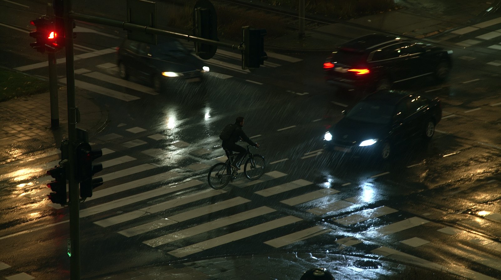
The same identity also carries Doppler velocity. Radar keeps the object when rain, spray or darkness take the camera down.
Primary
LiDAR geometry, radar velocity, camera class
Hard part
Associating sparse radar returns to the cuboid without splitting identity
Typical output
Fused cuboid, velocity, and per-sensor visibility flags
Where it is used
Production AD perception beyond a camera-only stack
Geo-localized stack
LiDAR + IMU + GPS
Point clouds are labelled in a trajectory that stays georeferenced. The map and the object share one coordinate frame.
Primary
LiDAR in a SLAM or GNSS-stabilised world frame
Hard part
Keeping landmarks and dynamic objects distinct as the trajectory drifts
Typical output
Georeferenced clouds, trajectory, landmarks, LAS / LAZ where required
Where it is used
Surveying, mapping, outdoor mobile robotics
Low-light stack
Camera + thermal
RGB and long-wave thermal share one identity. When the camera goes dark, the thermal silhouette is still a labelled object.
Primary
Thermal silhouette with RGB class when light allows
Hard part
Calibration across very different resolutions and the hot-spot taxonomy
Typical output
Paired boxes or masks, thermal-only classes where the schema needs them
Where it is used
Night automotive, search and rescue, perimeter perception
Surround stack
Multi-camera array
Identity continues as the object leaves one camera and enters the next. The handoff is a labelled event, not a new object.
Primary
Shared identity across a time-synced camera ring
Hard part
Handoff at overlapping FOV edges and appearance change between cameras
Typical output
Per-camera boxes plus a cross-camera identity manifest
The same fused scene answers four different buying jobs.
Per-sensor annotation cannot settle a disagreement between streams. Fusion-aligned labels can.
Perception that must survive weather and night.
Vehicle, pedestrian, cyclist and lane labels share one identity across LiDAR, camera and radar. Taxonomy can follow nuScenes or Waymo schemas when the engagement asks for that alignment.
A robot needs the obstacle and the grasp in the same frame.
LiDAR + camera + IMU for indoor and outdoor SLAM. Dynamic people, navigable floor and graspable objects are labelled against one trajectory.
Identity has to survive a camera handoff at night.
Multi-camera plus thermal. Cross-camera re-identification is a labelled event. Day and night coverage share the same person ID.
The map is only useful if the cloud is georeferenced.
LiDAR + IMU + GPS + camera. Delivery can include LAS / LAZ and a georeferencing check. BIM-ready when the engagement specifies it.
Production starts after calibration holds.
Schema, projection policy and a shared subset all serve one decision: is the multi-sensor contract stable enough to scale?
Schema and multi-sensor calibration
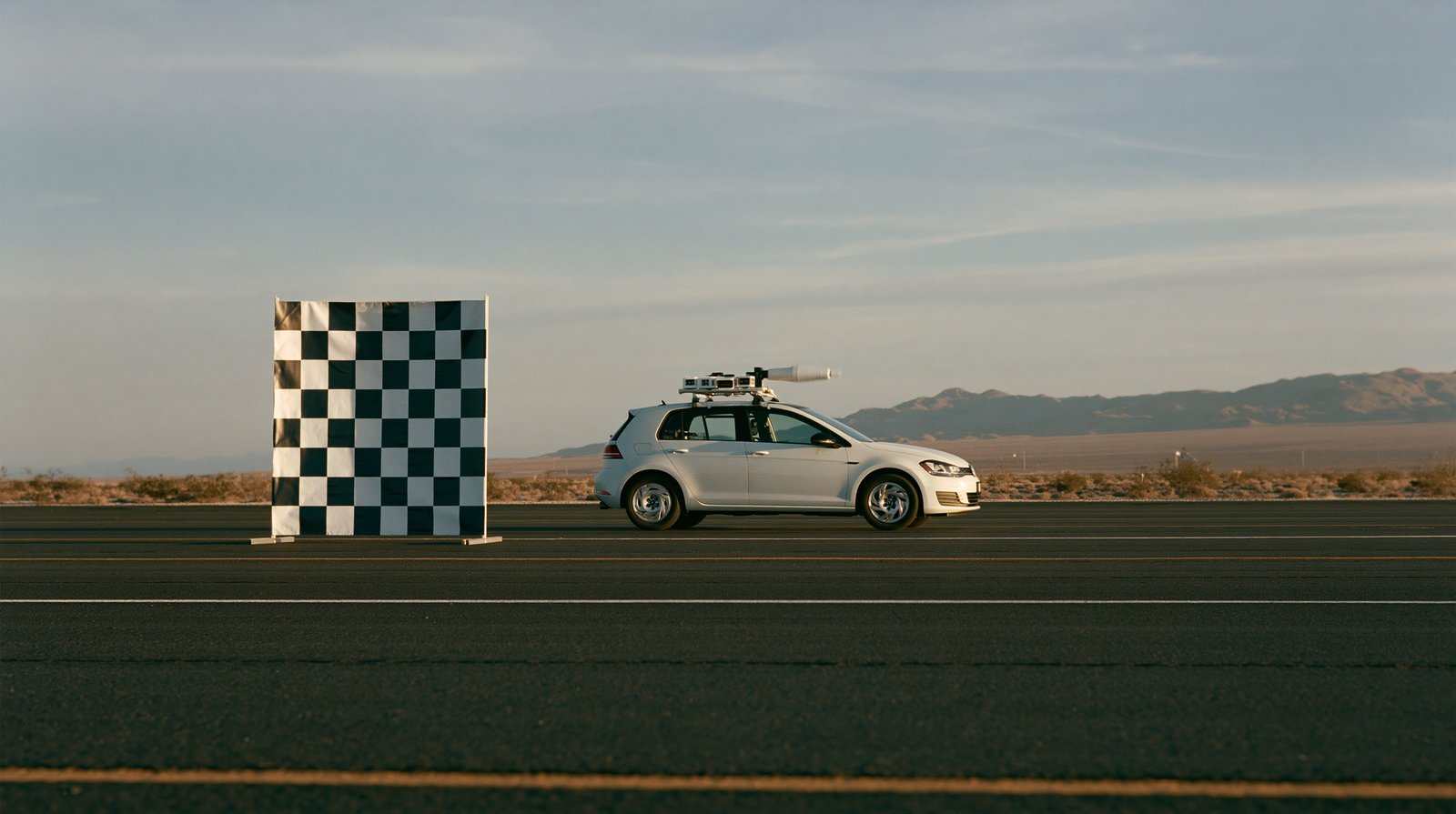
Class taxonomy is locked. Per-sensor intrinsics, pairwise extrinsics and PTP timestamps are verified before anyone draws a production label.
Output. Schema plus calibration verification record.
Guideline and projection policy
Visibility rules per sensor. Which stream is primary for each class, and which stream is allowed to correct it.
Output. Versioned annotation guideline.
Calibration round
A shared subset is labelled in the fused viewer. Cross-modal agreement and projection error are measured. The guideline is revised on what the round actually found.
Output. Cross-modal agreement record and revision decisions.
The gate
Production starts when the calibration round clears the task-specific projection and agreement thresholds in the acceptance plan.
The gate is a recorded decision, not a mood. Drift after this point is reported, not silently absorbed.
Output. Gate-pass attestation.
Production in the fused viewer
One 3D label in the primary sensor, projected to every secondary. The annotator validates the landing. Work runs in a single-tenant proprietary viewer.
Output. Multi-modal annotations.
QA, cross-modal audit and delivery
Per-class scores per modality, projection-error report, time-sync drift audit, Article 30 records and a signed DPA.